Surveying & Mapping
Elevated Mapping Effieciency

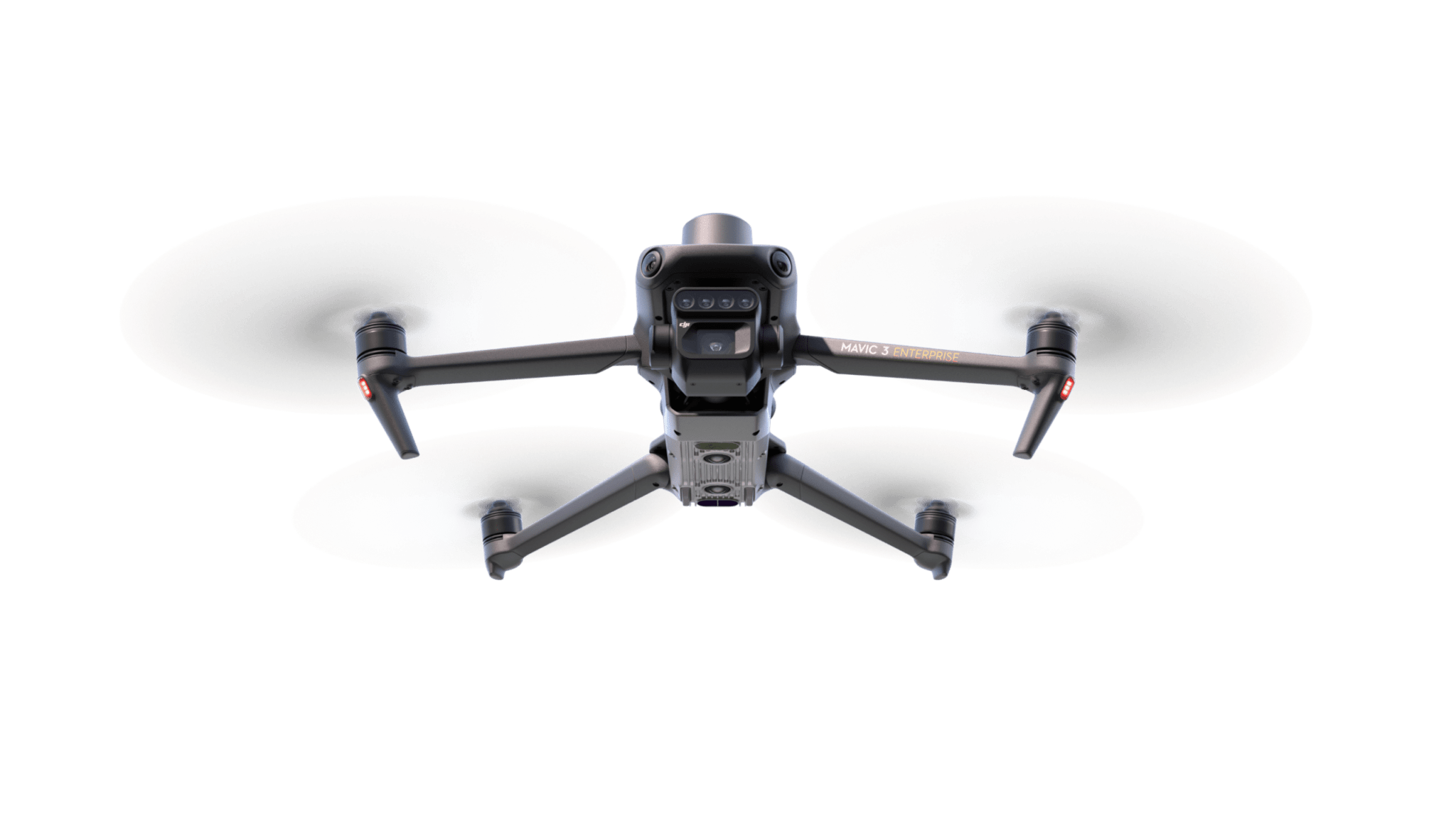
The DJI Mavic 3M stands at the forefront of precision agriculture, embodying a transformative approach to how vast agricultural lands are managed and analyzed. Armed with cutting-edge imaging technology, this drone significantly boosts productivity and slashes operational costs through its deep insights into crop health, growth, and management. It not only performs high-precision mapping and monitoring of crop development but also excels in assessing natural resources, thereby playing a pivotal role in agricultural and environmental stewardship. Working in harmony with the DJI Agras T40, the Mavic 3M delivers a comprehensive crop management solution. This powerful duo integrates detailed analysis with precise treatment techniques, optimizing crop vitality and yield in a manner previously unattainable. Together, they embody the zenith of agricultural technology, providing a sophisticated, modern toolkit that streamlines farm operations and elevates them to new heights of efficiency and productivity.
Harvesting the Future
- Camera System: Equipped with a 20MP RGB and four 5MP multispectral cameras, allowing for comprehensive crop health analysis.
- Precision Technology: Features RTK for ultra-precise aerial surveys over areas up to 200 hectares in a single flight.
- Operational Efficiency: Aids in mapping, monitoring crop development, and natural resource evaluation, providing essential agricultural data.
- Integrated Solutions: Works alongside the DJI Agras T40 for a full crop management system, from analysis to precise treatment, to improve crop health and yields
- Terrain Adaptability: Capable of terrain-follow surveys in complex landscapes, such as sloped orchards, for accurate analysis.
- Advanced Mapping: Utilizes DJI Terra or SmartFarm platforms for detailed orchard mapping, tree counting, and obstacle differentiation, streamlining 3D navigational routes for drones..

Better Perspective
The Mavic 3M, with its multispectral imaging, revolutionizes crop management for example, cotton and potatoes by generating NDVI and other indices through DJI Terra or SmartFarm Platform, enabling precise fertilization and protection methods. This tech reduces costs, boosts yields, and safeguards the environment. Additionally, its automatic field scouting feature, coupled with real-time 4G uploads to the SmartFarm Platform, quickly detects crop issues and utilizes AI for crop monitoring and analysis


